
Attention given to effective soil erosion assessment
2025-11-06 11:00:00 / News
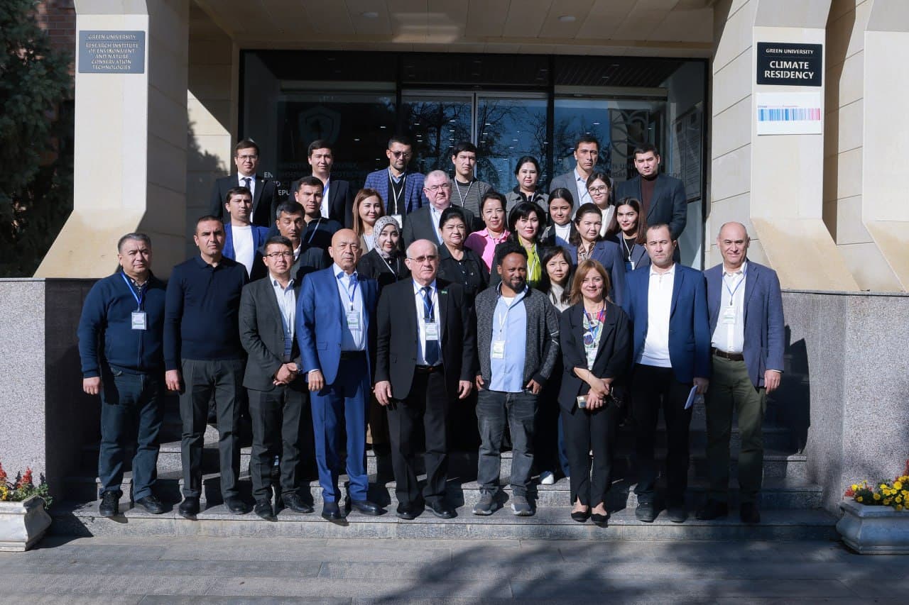

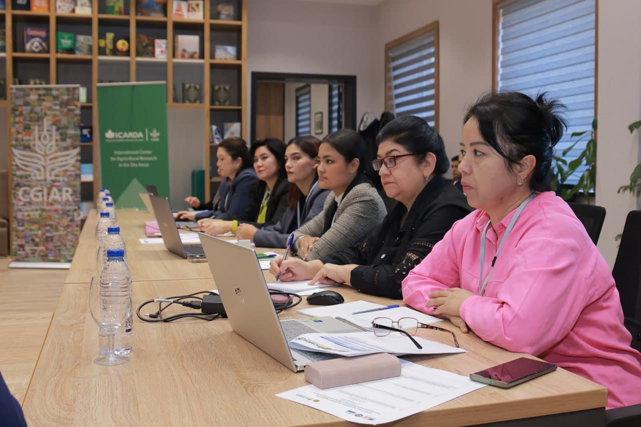
The event is organized in cooperation with the Research Institute of Environment and Environmental Technologies under the Ministry of Ecology and the International Center for Agricultural Research in the Dry Areas (ICARDA) as part of the project “Preventing Degradation: Reducing the Risks of Erosion and Mudflows through Integrated Land and Climate Vulnerability Assessment in Central Asia,” funded by the United States Forest Service (USFS).
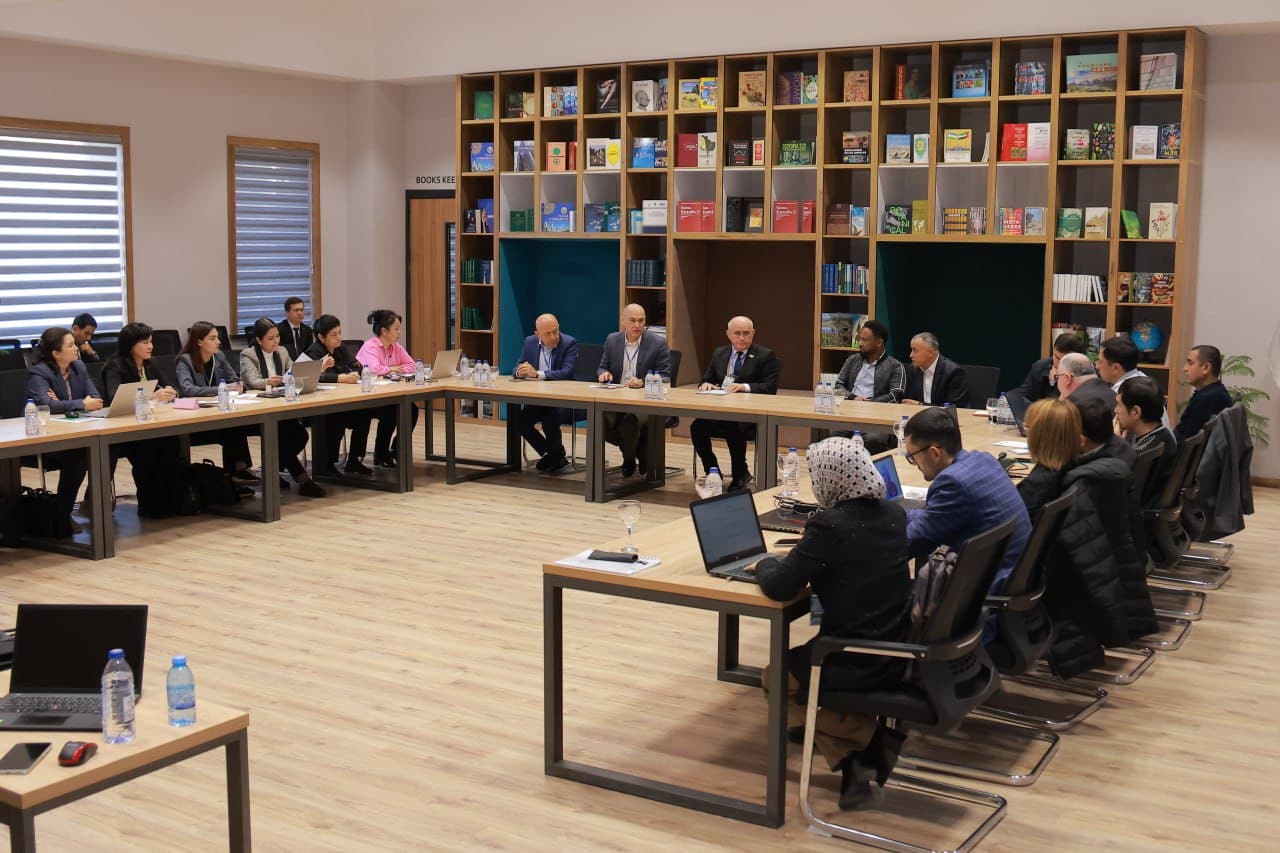
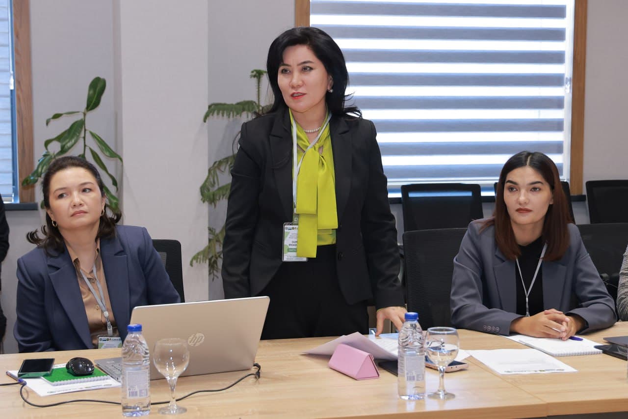
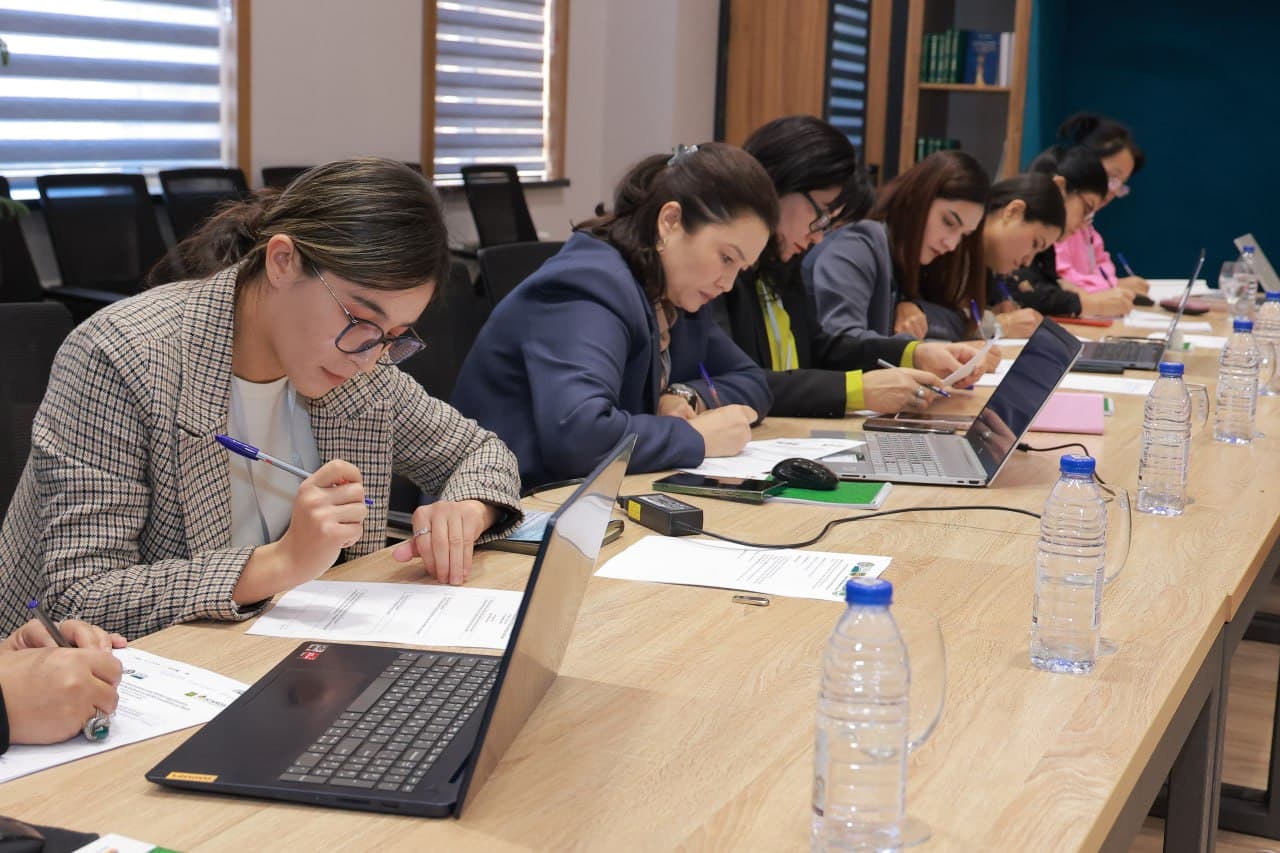
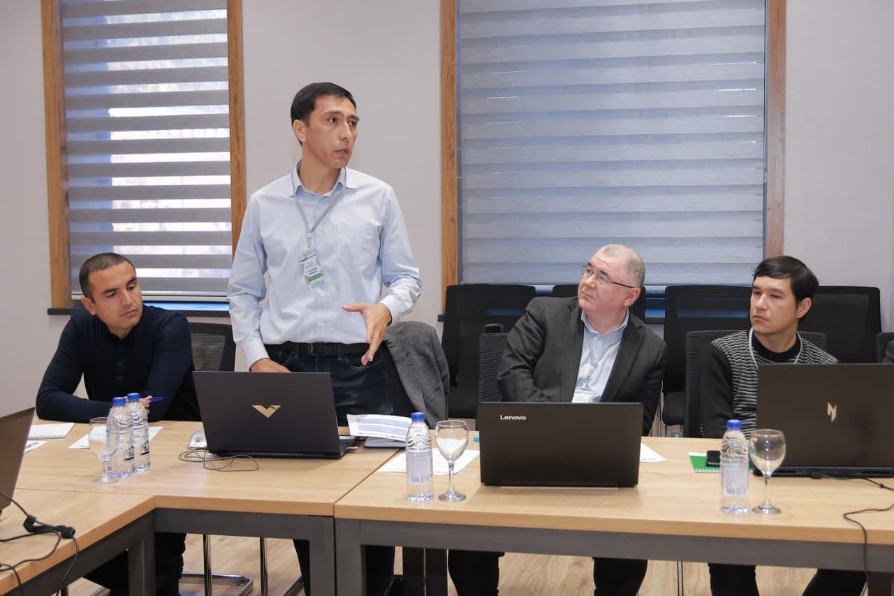
During the seminar, young researchers, PhD students and specialists are enhancing their theoretical and practical knowledge in soil erosion assessment using the RUSLE (Revised Universal Soil Loss Equation) model, GIS technologies, and remote sensing data. The program also includes practical sessions on working with RUSLE model parameters in ArcMap, spatial analysis and data visualization.
On the first day of the seminar, participants developed initial skills in soil erosion modeling and consolidated their theoretical understanding through hands-on exercises.
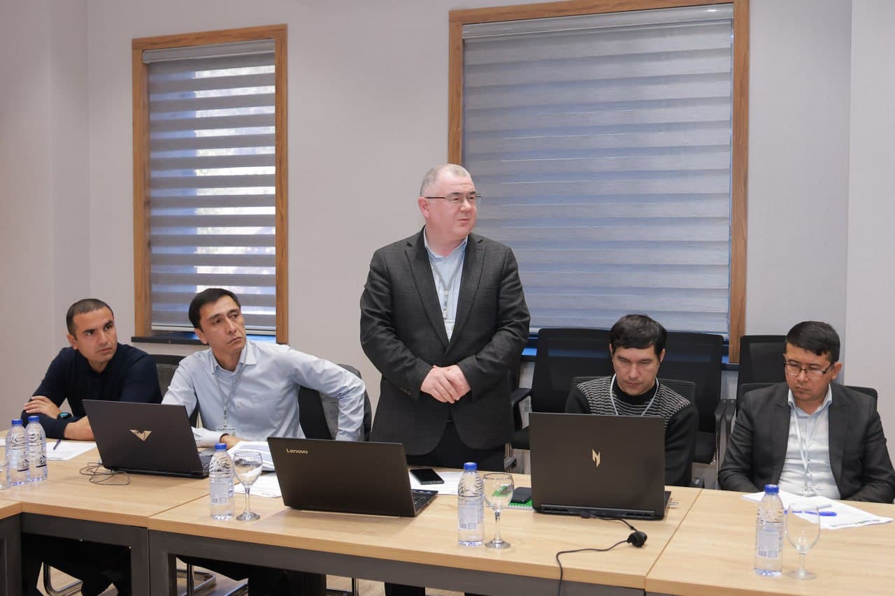
The seminar will continue until November 7 and will include practical sessions focused on integrating RUSLE model parameters into GIS systems and analyzing the resulting data.