International Seminar on the Use of GIS and Remote Sensing in Geological Research Held
2025-07-18 19:30:00 / News
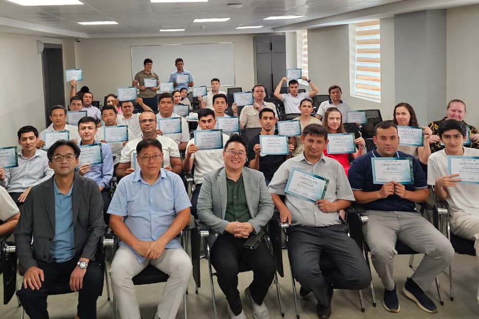
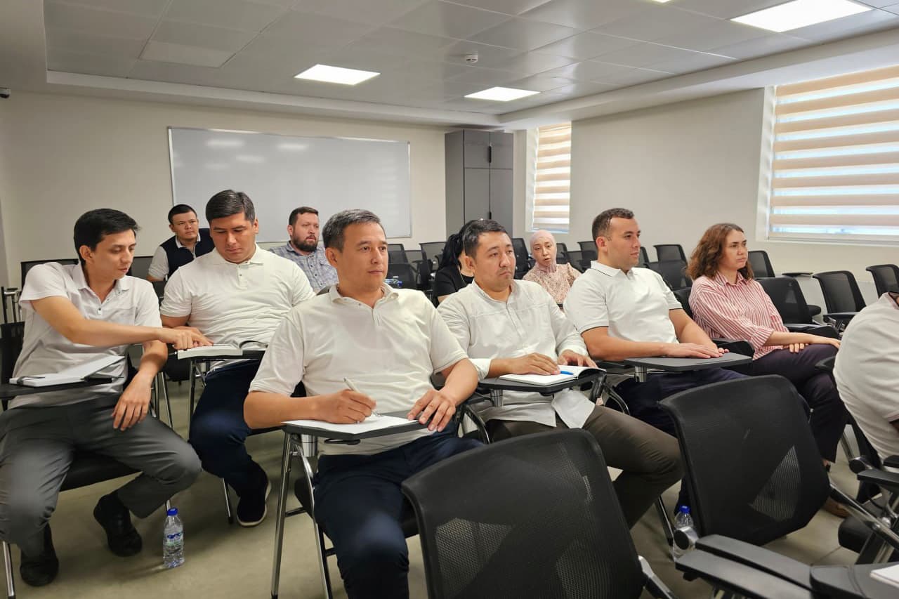
From 9 to 15 July 2025, the University of Geological Sciences hosted an international seminar-training on the topic of “Remote Sensing of the Earth and Geographic Information Systems (GIS)” with the participation of leading professors from the Korea Institute of Geoscience and Mineral Resources (KIGAM), as well as Chungnam and Kangwon National Universities.
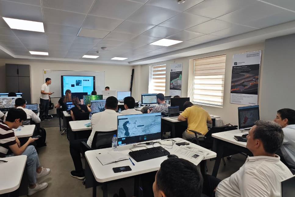
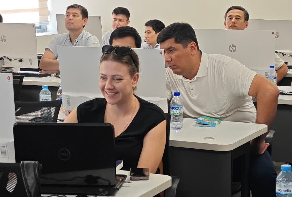
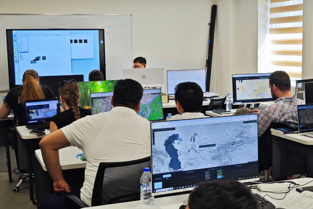
During the seminar, participants gained both theoretical knowledge and practical skills in areas such as remote sensing, satellite image analysis, creation of digital elevation models, surface monitoring of the Earth, and the assessment of natural hazards using GIS technologies.
At the end of the event, all participants received certificates. This seminar-training was organised within the framework of the KOICA-funded grant project “Establishment of an Integrated Management System for Mineral Resources and Geological Hazards in Uzbekistan” and aims to further strengthen scientific and technical cooperation between the two countries.