
"Uzbekcosmos" has begun space monitoring of saline lands!
2025-02-20 00:00:00 / News


Saline soils are areas where dissolved salts accumulate in the upper layers of the soil, negatively affecting plant growth and agricultural activities. They are formed mainly under the influence of water supply, climate, soil mechanical composition and geological processes.
Today, global climate change, land degradation, soil salinization, and biodiversity loss occurring throughout the world pose a serious threat to the ecology, development of economic sectors, and the prosperous future of humanity.
In many countries, desertification and land degradation have left billions of hectares of land unusable worldwide. In particular, 1,746.6 thousand hectares of land in our country are saline to varying degrees, of which 65.2 thousand hectares are highly saline, 439.4 thousand hectares are moderately saline, and 1,242 thousand hectares are slightly saline. It is especially regrettable that more than 5.5 million hectares of land have turned into salt deserts as a result of the Aral Sea disaster.
This primarily leads to a decrease in water availability for plants in agricultural lands, a decrease in soil fertility, loss of minerals and microelements, a deterioration in irrigation efficiency, land erosion, and the emergence of various environmental problems.
In the “Global Status of Salt-Affected Soils” report published by the FAO in 2024, Uzbekistan is among the 10 countries with 70% of the world's saline soils.
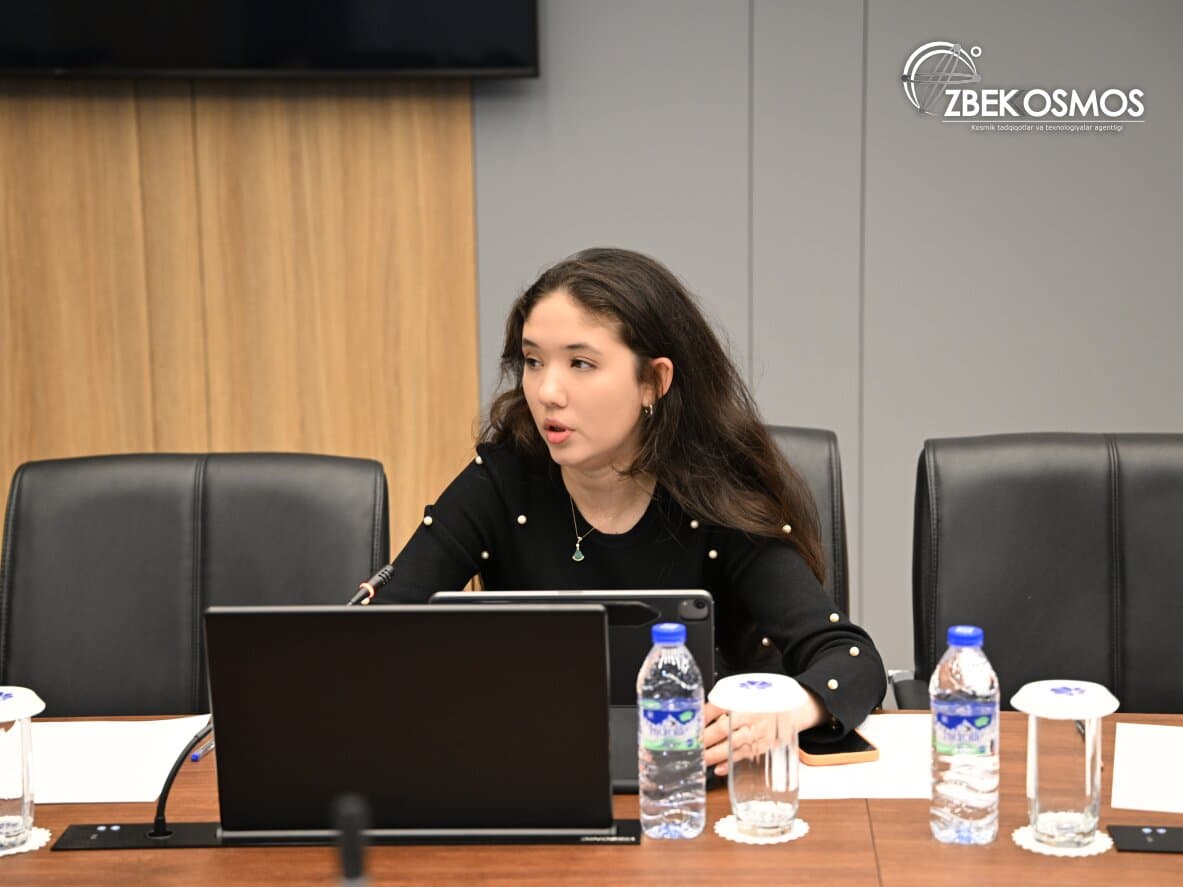
The Uzbekcosmos Agency, which has been supporting the country's socio-economic sectors through its State Space Monitoring System for several years, is launching the "Soil Salinity Assessment Using Satellite Images" project in collaboration with the UN Economic and Social Commission for Asia and the Pacific (ESCAP) as a solution to this global problem.
This project will contribute to sustainable methods of food security, agriculture and land resources management in Uzbekistan by using remote sensing technologies, advanced geoinformation systems and artificial intelligence capabilities, and will improve data collection, analysis and dissemination.
90 arable lands in Zarbdor and adjacent districts of Jizzakh region were selected as a test area for the project. There, the level of soil salinity will be studied using satellite images, and samples will be taken for laboratory tests and in-depth analysis will be conducted.
This will allow for the next few years to maintain accurate statistics on the most saline lands in the country, identify fertile areas for agriculture, and provide farmers with complete information on the condition of arable land. As a result, it will be possible to properly allocate resources and raw materials for the use of agricultural land, take agrotechnical measures based on the level of land salinity and soil and climatic conditions of the area.
For information:
In 2024, the Uzbekcosmos Agency conducted space monitoring in the agricultural sector in the Fergana, Andijan, Namangan, Tashkent, Jizzakh, Samarkand, Surkhandarya, and Kashkadarya regions, identifying 967 thousand hectares of wheat and 597 thousand hectares of cotton.
At the same time, in order to control the effective use of fertile lands, it was noted that in the above-mentioned 8 regions during January-October, there were 56 thousand 521 hectares of unused arable land. In addition, during space monitoring, 27 thousand 266 cases of use of reserve lands totaling 86 thousand 107 hectares were identified in the 8 regions.
The Uzbekcosmos Agency plans to implement a number of similar effective projects in cooperation with partner organizations and international space agencies in the current “Year of Environmental Protection and “Green” Economy”.
Uzbekcosmos Agency Information Service.