
How do space technologies help in the study of the Aral Sea region?
2026-09-23 18:10:00 / News
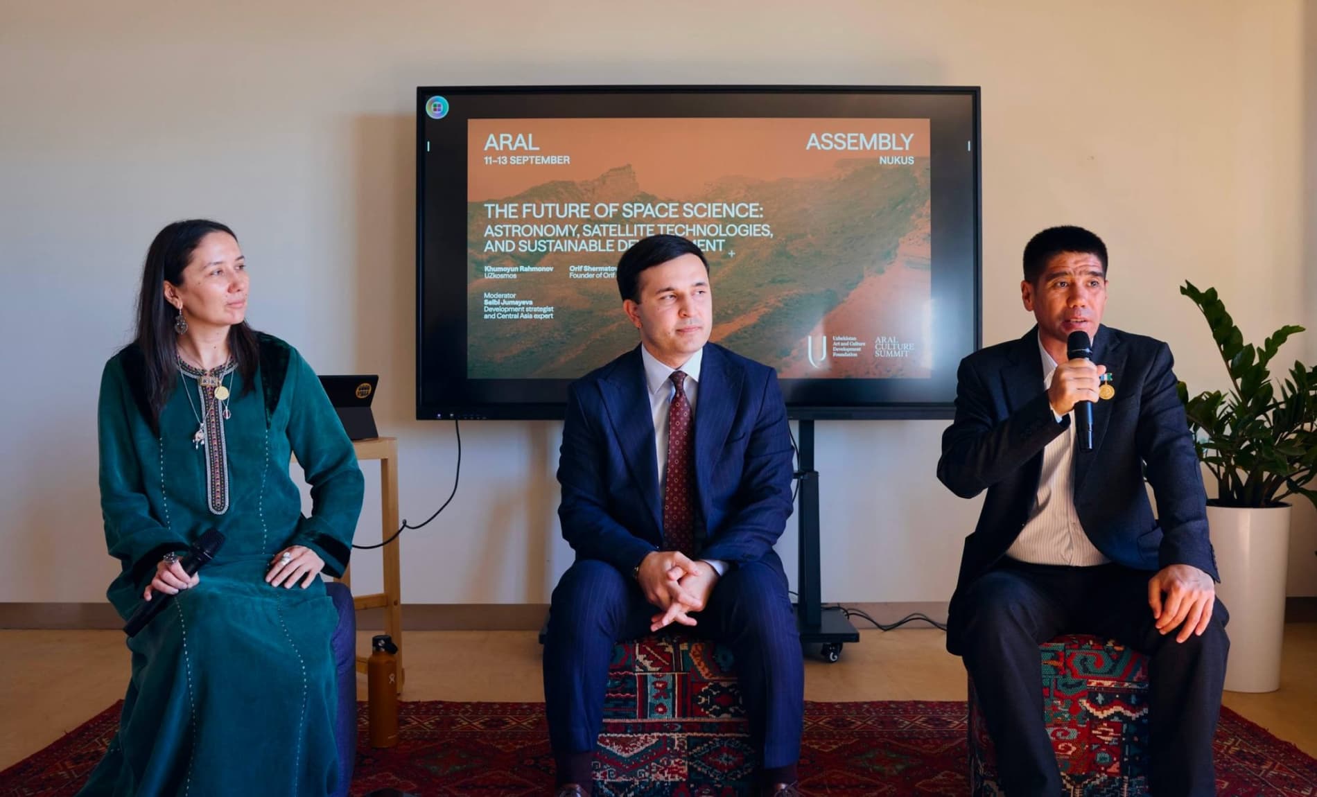
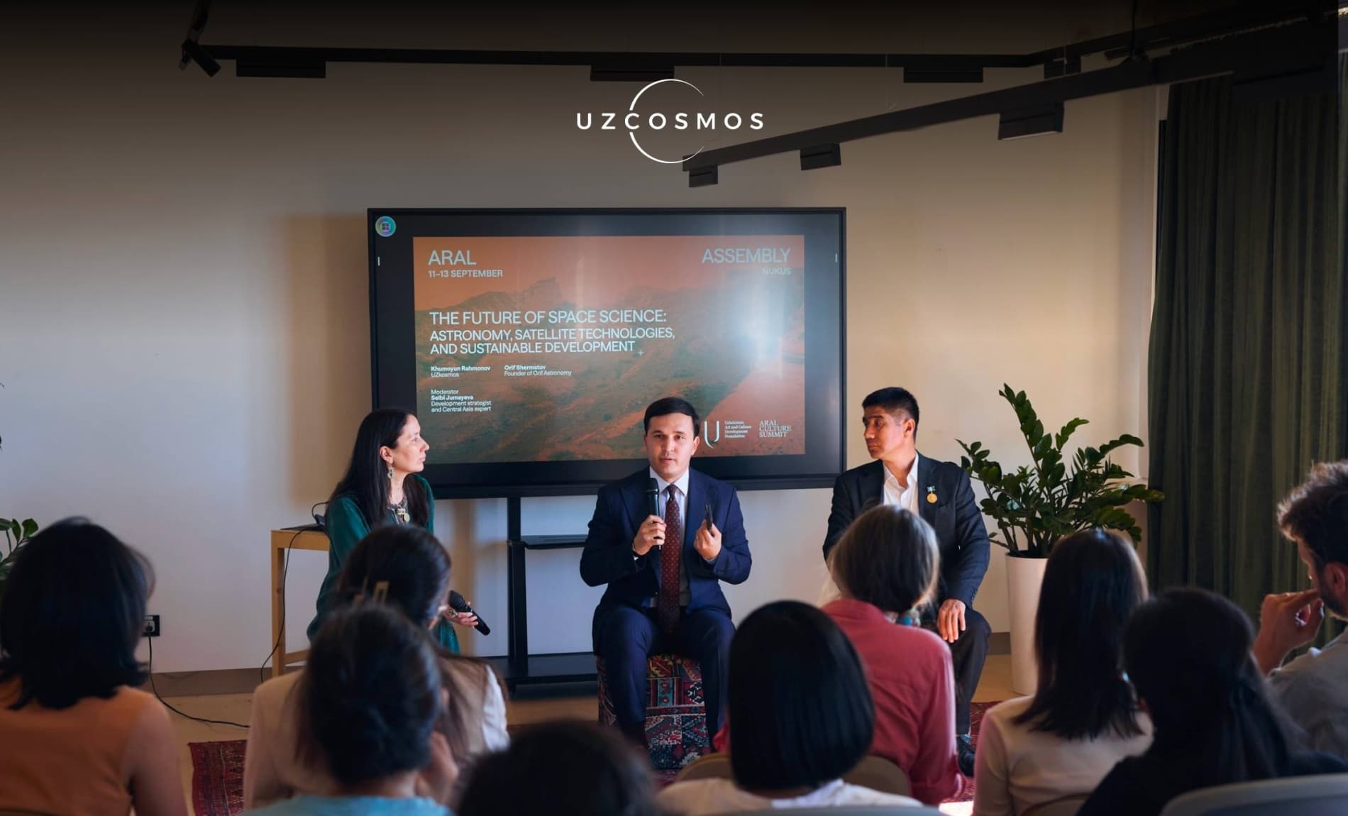

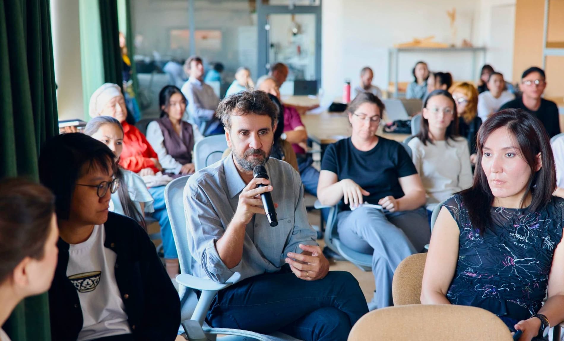
"Uzbekcosmos" participated in the "Aral School - Climate and Landscape" program held as part of the Aral Summit.
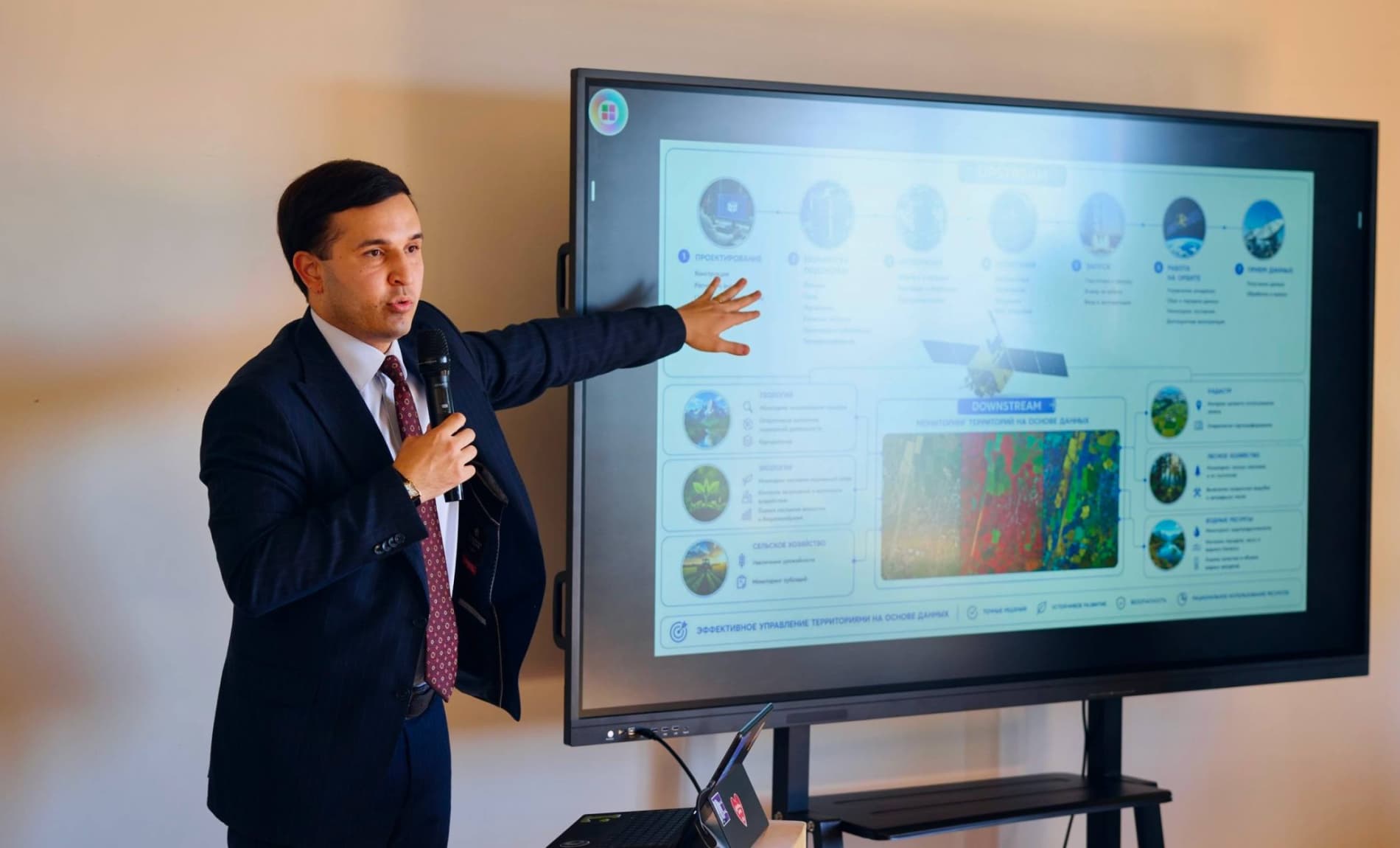
During the event, agency representatives noted the importance of satellite data, remote sensing of the Earth, and the capabilities of GIS technologies in monitoring environmental and landscape changes in the Aral Sea region.
The event was also attended by the well-known blogger Orif Astronom, who explained in a simple and interesting way the methods of observing astronomical phenomena, studying the night sky and identifying celestial bodies.