
Journalists and bloggers got acquainted with the results of space monitoring in Fergana region
2026-07-01 15:00:00 / News
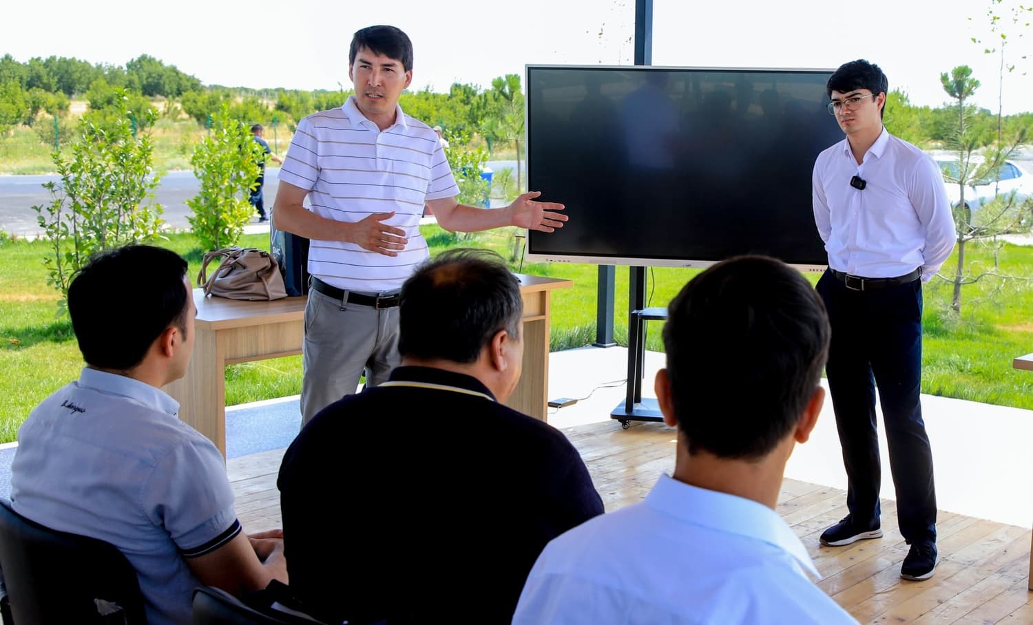
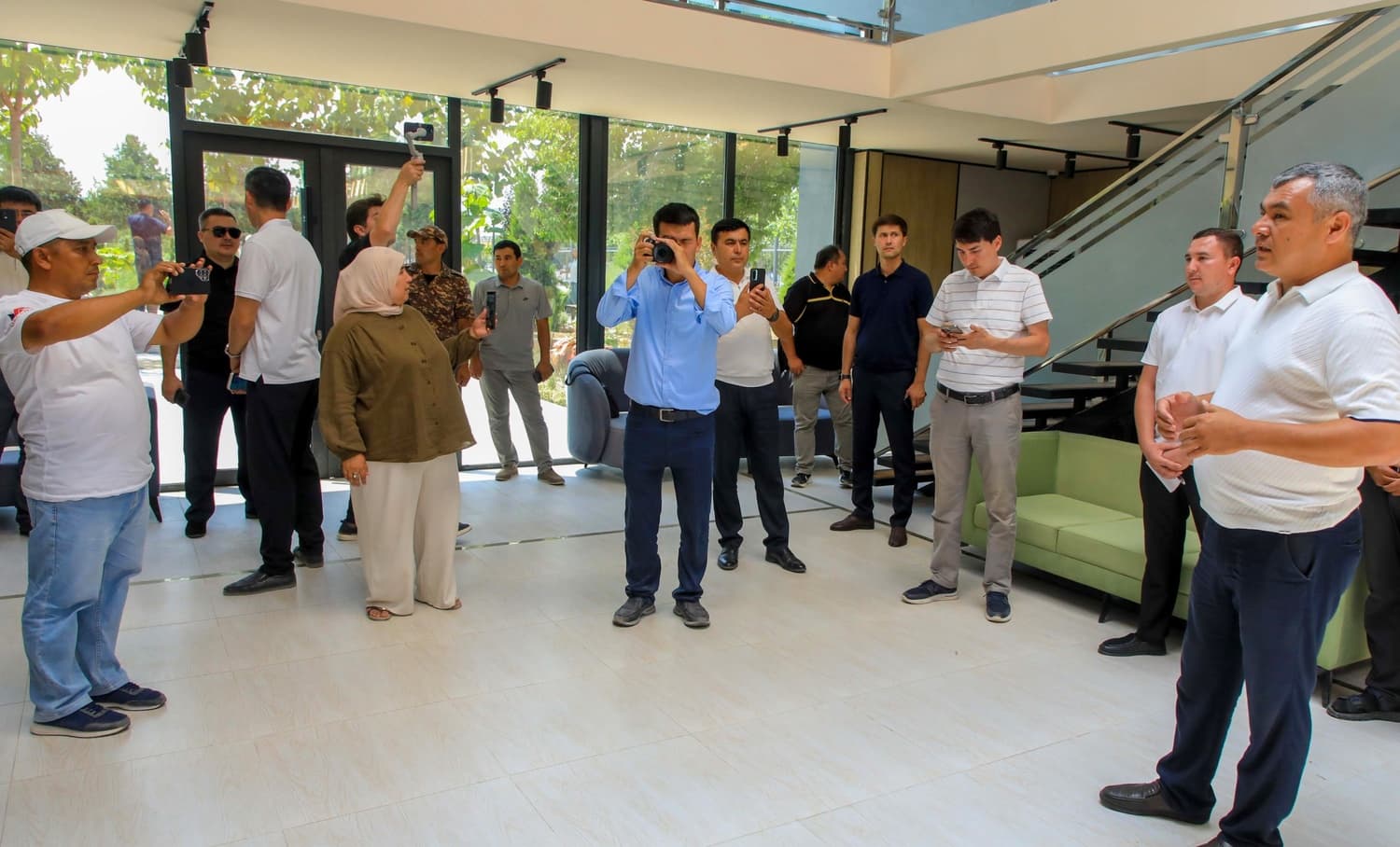
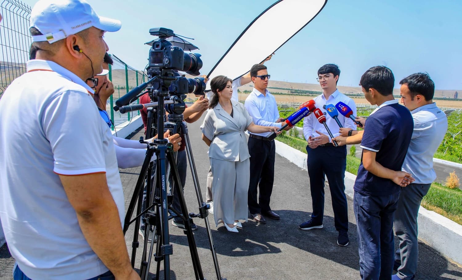
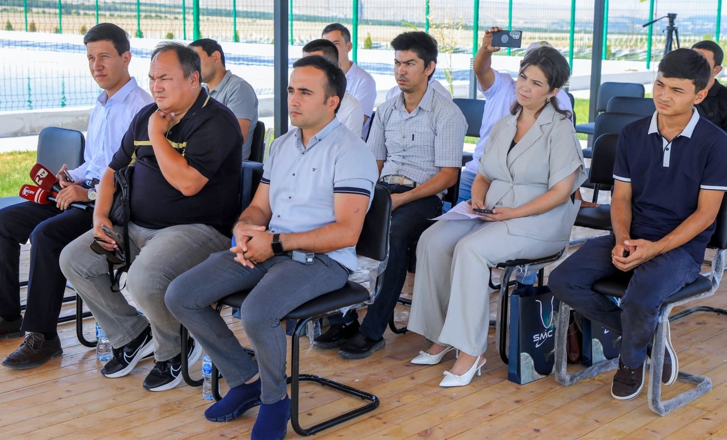
The "Uzbekcosmos" Agency, in cooperation with the Fergana region khokimiyat, organized a media tour for media representatives and bloggers dedicated to the practical effectiveness of space monitoring technologies in managing territories.
The main goal of the event was to demonstrate to journalists and bloggers directly on-site what practical results satellite imagery, geoinformation systems, and satellite data yield in agriculture, water resources, ecology, and public administration.
Today, space monitoring is becoming not only a tool for collecting information but also an important instrument for making scientifically grounded management decisions, rational use of resources, and sustainable development of territories. Projects being implemented in Fergana region clearly demonstrate the practical outcomes of this very approach.
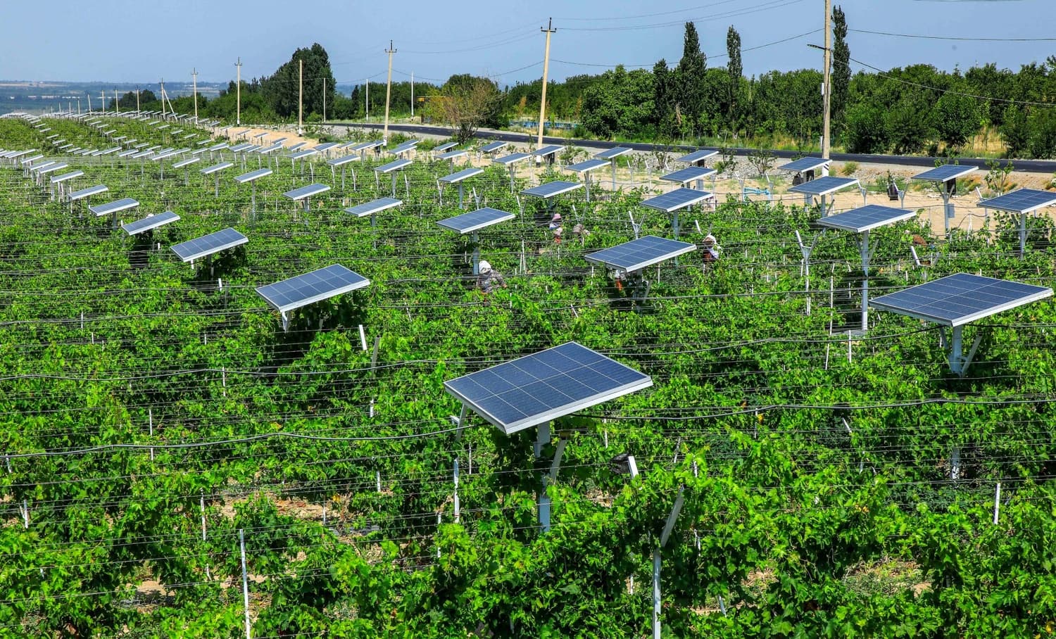
During the media tour, journalists familiarized themselves with the activities of exemplary intensive orchards in Kuva district. These orchards are modern horticultural projects presented as part of the head of state's visit to the region.
Specialists from the "Uzbekcosmos" Agency regularly monitor the development dynamics of the orchards, the condition of crop areas, and vegetation indicators through satellite imagery. This makes it possible to remotely assess the efficiency of orchards, identify problems early, and develop scientifically grounded recommendations for increasing yields. This approach serves to increase fruit production volumes, expand export potential, and use land resources even more efficiently.
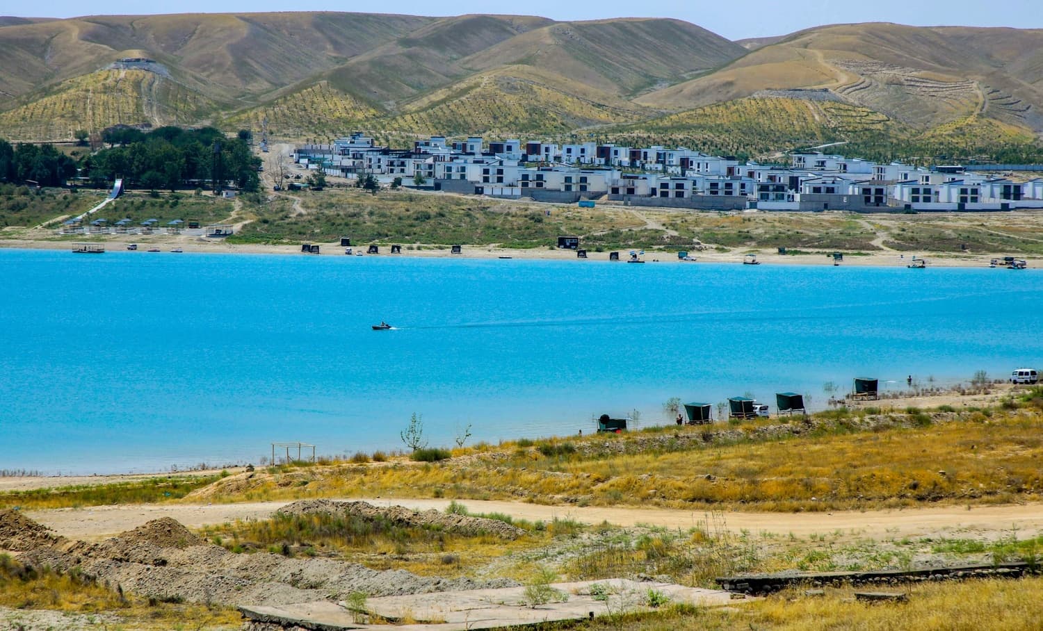
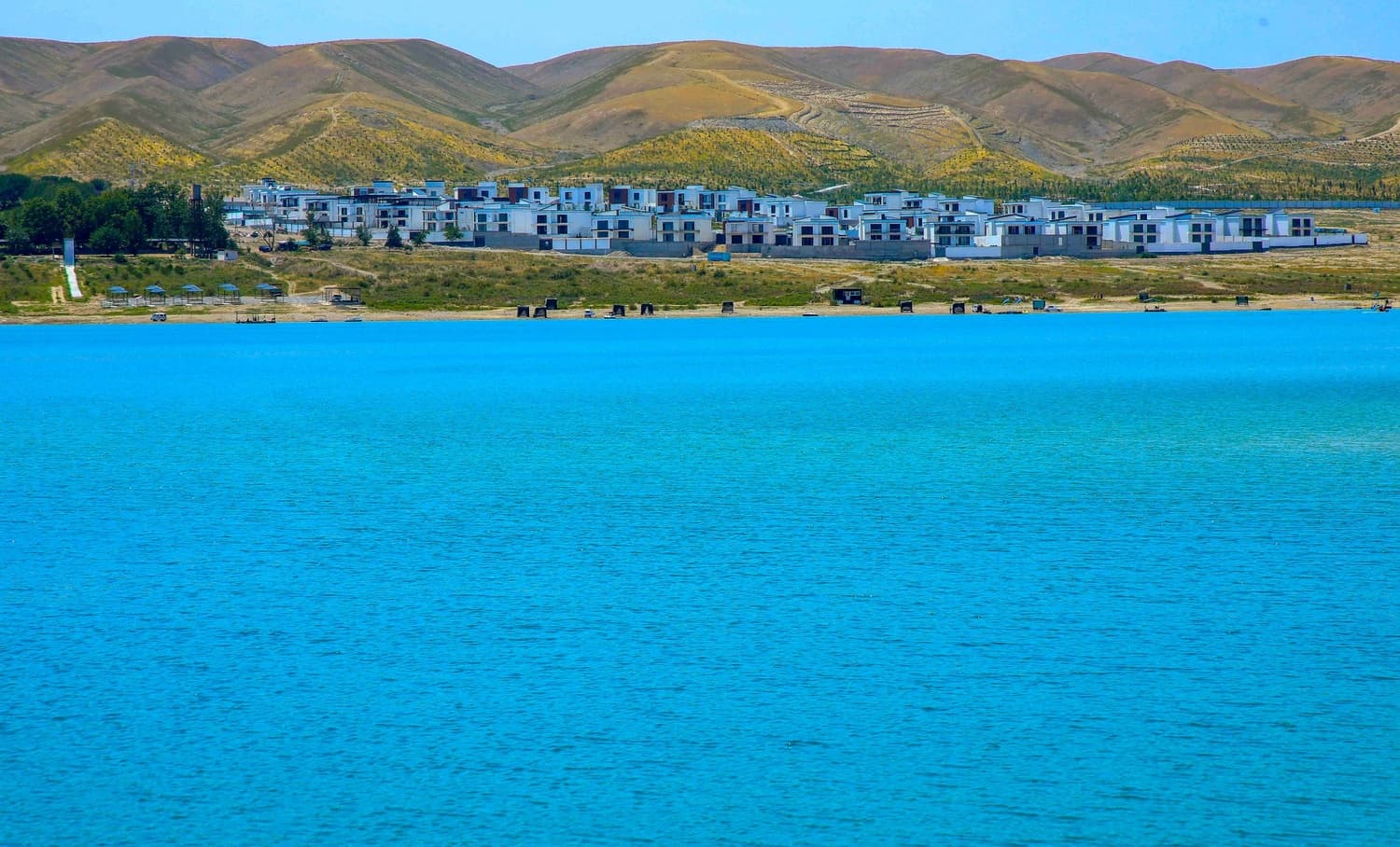
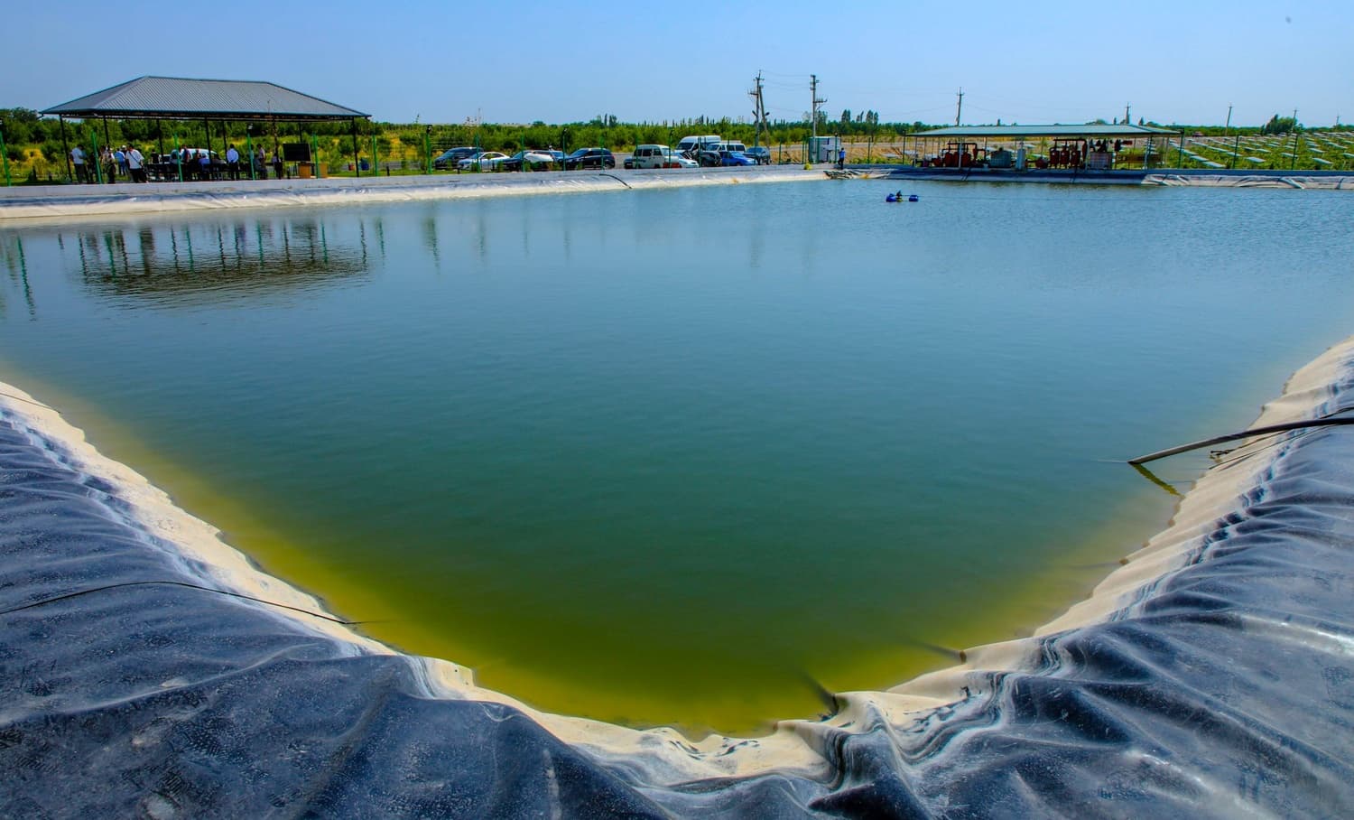
The media tour participants also got acquainted with space monitoring work being carried out at the Karkidon, Kurgantepa, and Central Fergana reservoirs.
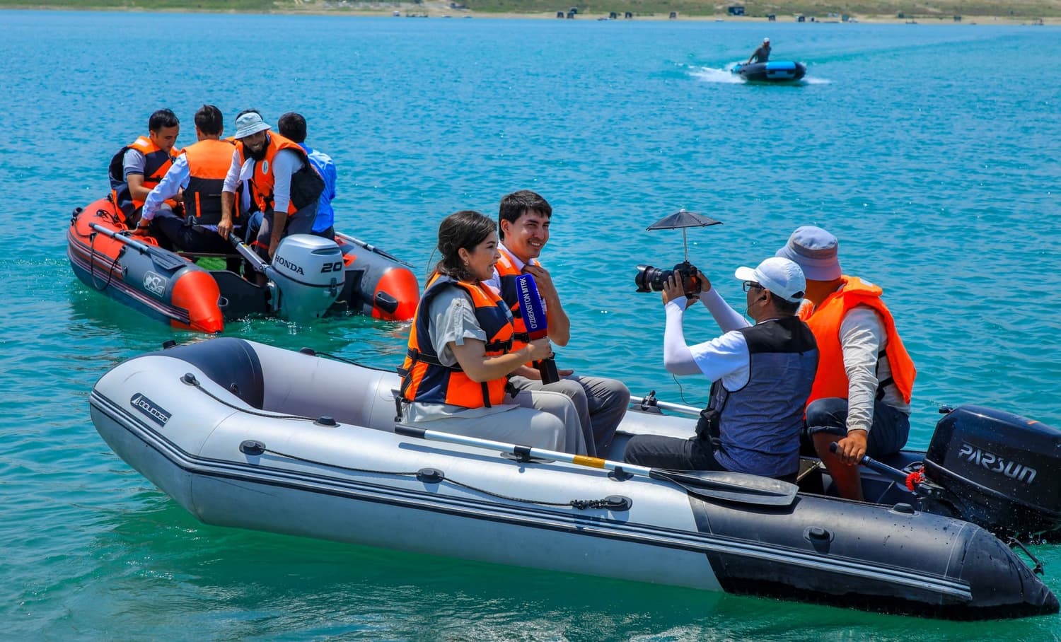
Specialists are determining the actual capacity of the reservoirs using bathymetric measurements. They are scientifically evaluating how much the volume of the reservoirs has changed due to silt deposits accumulated over decades.
Through radar satellite images, the deformation state of dams, water area dynamics, and water level changes are being regularly monitored. Such monitoring is of great importance for ensuring the safety of hydraulic structures, preventing emergencies, and effectively managing water resources.
During the media tour, journalists were provided with information about measurement works being conducted using drones, special boats, and modern geodetic equipment.
At the same time, specialists from the "Uzbekcosmos" Agency informed media representatives about the large-scale field works being carried out to determine the water consumption volumes (evapotranspiration) of agricultural crops in all districts and cities of Fergana region.
Data on irrigation networks, hydro-reclamation facilities, and canals were collected, and water consumption for each type of crop was calculated based on scientific methodology. The final results are being integrated into the "Space Water Monitoring" sub-platform.
This project, in the context of water scarcity, makes it possible to determine the actual water demand of each hectare of land, optimize the irrigation system, and fairly distribute water resources. This is of great importance for ensuring food security and the widespread introduction of water-saving technologies in agriculture.
Another direction of the media tour was devoted to environmental monitoring. Specialists demonstrated how cases of burning crop residues after harvest are promptly detected using satellite imagery.
Space monitoring allows for the rapid identification of illegal land-burning cases, controlling atmospheric air pollution, preserving soil fertility, and preventing economic damage worth millions of soums.
The journalists were given a detailed explanation of cases identified based on real space images and their environmental consequences.
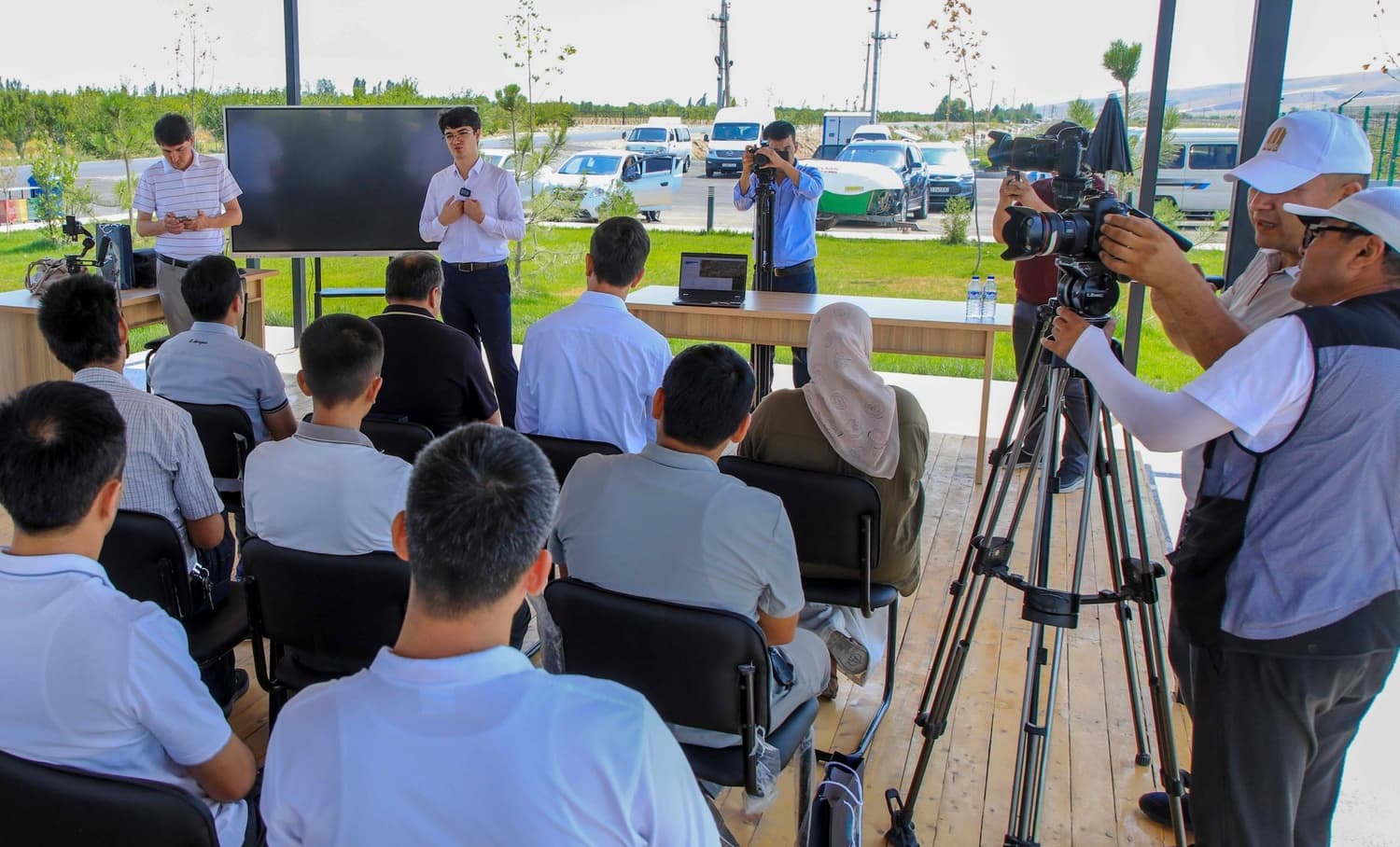
As part of the media tour, a practical training session on using the "Space Gov Monitoring" (SGM) platform was also organized for specialists from Fergana region organizations. Specialists who had previously upgraded their qualifications in Tashkent city further strengthened their practical skills in using the platform.
Through this platform, local government bodies use space data in their daily activities. As a result, decision-making is accelerating, bureaucratic processes are shortening, and digital analysis capabilities in territorial management are expanding.
During the media tour, specialists answered questions from journalists and bloggers on all projects. In particular, the results of space monitoring, geoinformation platforms, satellite images, and interactive maps were demonstrated in real time.
This allowed media representatives to gain a deep understanding of space technologies not only in theory but also in practical aspects.
Press Service of the "Uzbekcosmos" Agency