
Media tour for media representatives On the results of space monitoring of the Akhangaran Reservoir
2026-06-25 14:35:00 / News

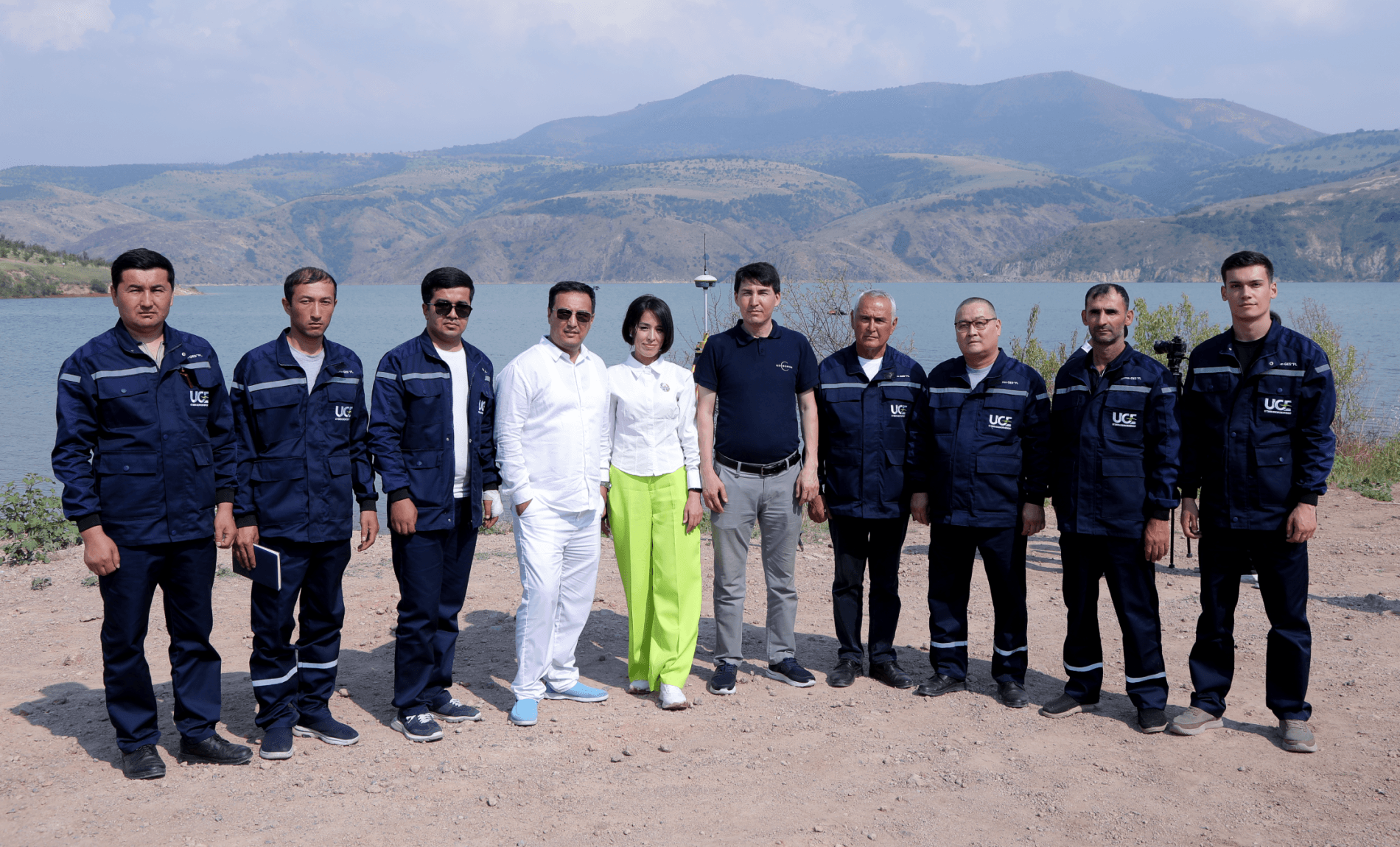
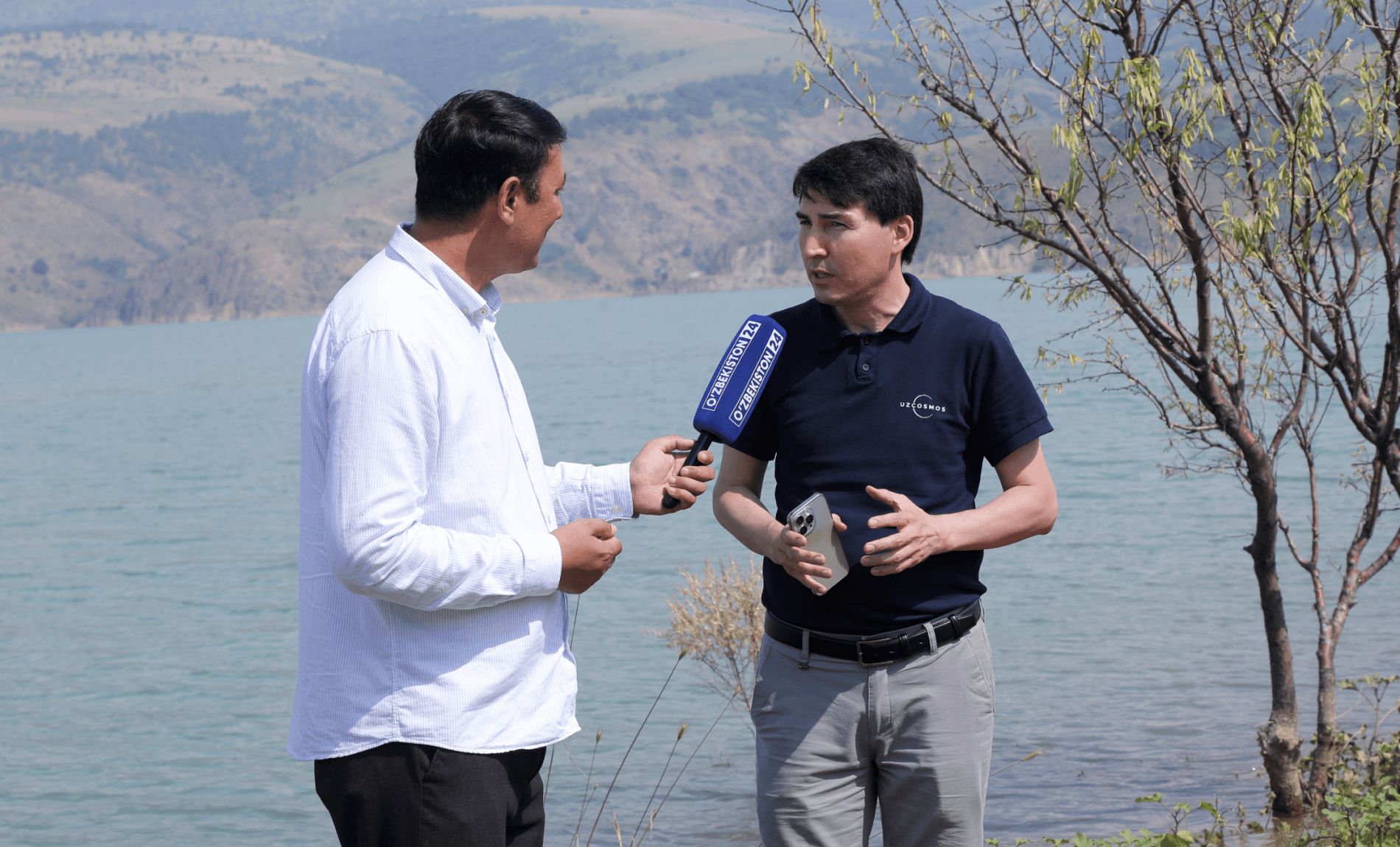
4 , 2026, the Uzbekcosmos Agency , together with Uzbekhydroenergo JSC , organized a media tour of the Akhangaran Reservoir, located in the Tashkent region. During the event, agency specialists demonstrated to journalists and bloggers the stages of creating digital three-dimensional (3D) models of the reservoir using bathymetric technologies and aerospace data.
Reservoirs play a vital role in providing agriculture, drinking water systems, and the energy sector in Uzbekistan. Their reliable operation and safety are key factors in the country's water security.
Until now, reservoir monitoring has been primarily conducted through in-situ and field measurements based on hydrological stations and regular specialist observations. Despite the practical significance of this approach, it has several limitations related to limited territorial coverage, dependence on weather conditions, and the relatively long time required for data collection and processing.
As part of its digitalization projects in the water sector, the Uzbekcosmos Agency is implementing modern monitoring methods based on Earth observation satellite data. These technologies enable continuous and large-scale monitoring of the condition of hydraulic structures, particularly reservoirs and dams, as well as other water management infrastructure.
The space monitoring system being implemented at the Akhangaran Reservoir in cooperation with JSC Uzbekhydroenergo is one of the practical examples of integrating space data into water resource and hydraulic structure management processes.
This work is being implemented in accordance with the Decree of the President of the Republic of Uzbekistan "On Additional Measures for the Further Development of the Space Industry." As part of this document's implementation, sedimentation dynamics have been monitored in 50 reservoirs across the country using modern technologies and specialized equipment.
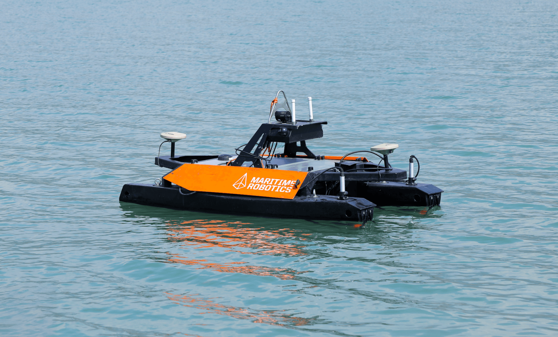
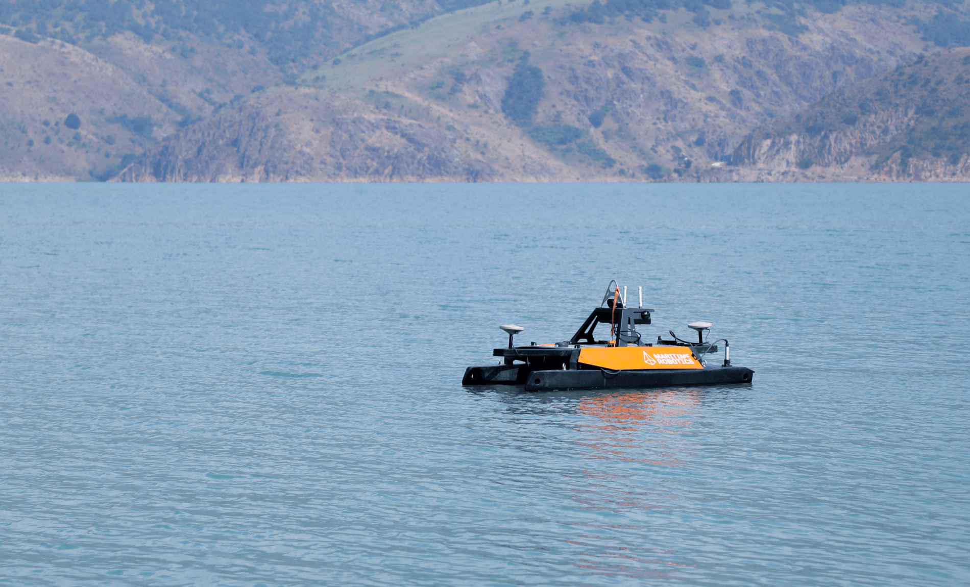
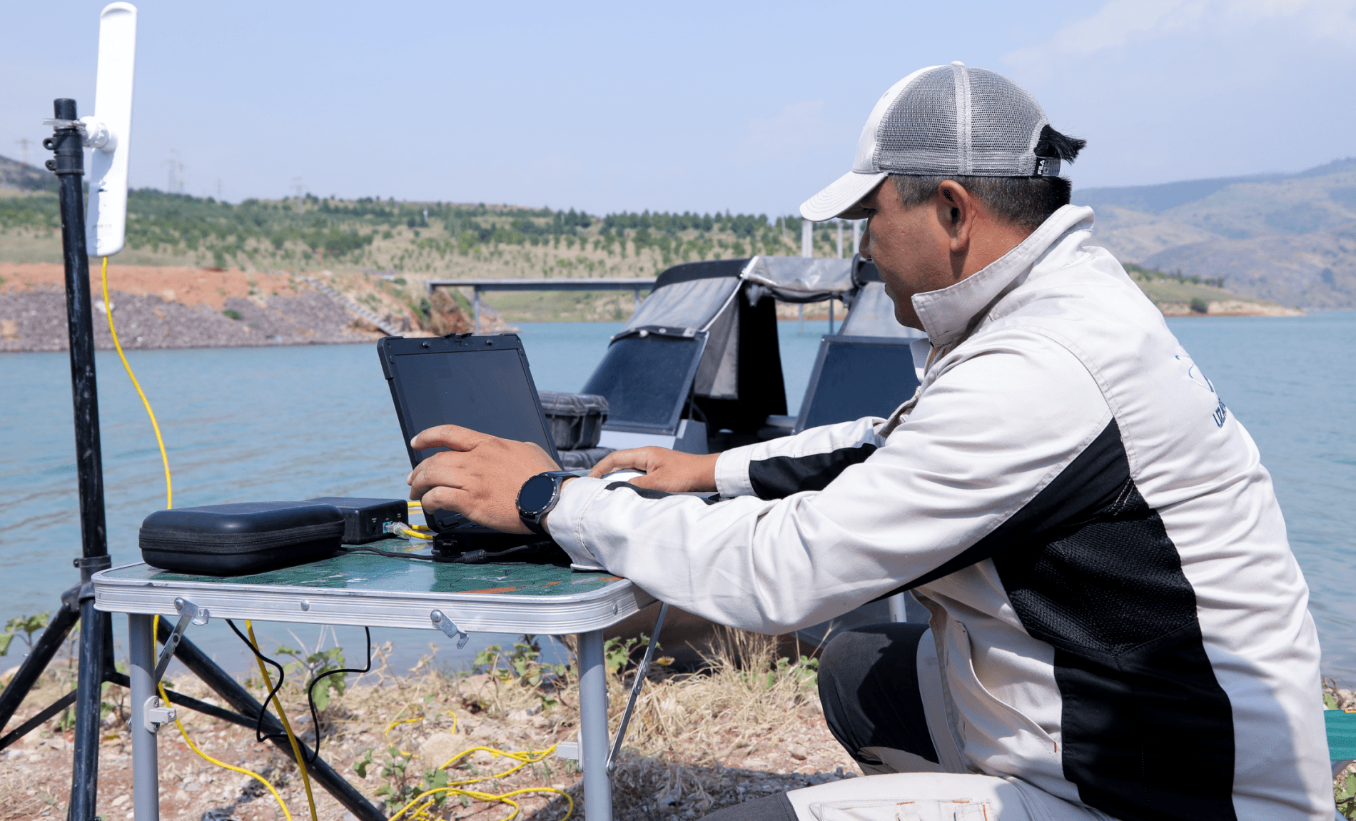
During the media tour, media representatives had the opportunity to become familiar with the bathymetric survey process of the Akhangaran Reservoir and observe the underwater relief measurements in real time.
Before commencing measurement work, an analysis of the reservoir's hydrodynamic regime over the past three years is conducted. This includes studying seasonal patterns of filling, as well as periods of maximum and minimum water levels.
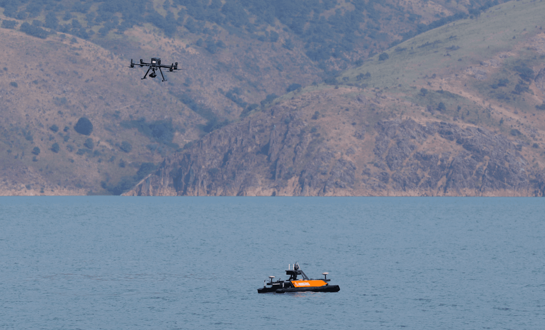
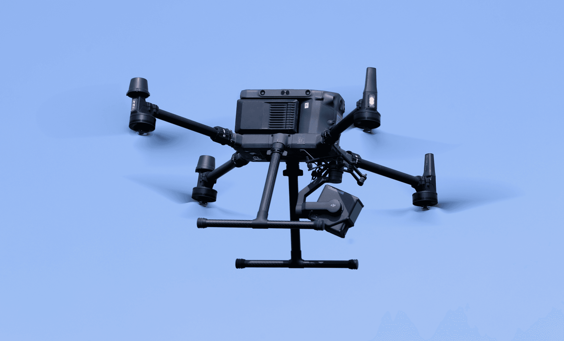
To obtain the most accurate information about the condition and capacity of reservoirs, digital 3D models are created. During periods of low water levels, aerial surveys are conducted of the above-water portion of the reservoir and adjacent protected zones. In areas where the use of unmanned aerial vehicles is impossible, high-resolution satellite imagery is used.
Data obtained using modern aerospace and multibeam bathymetric technologies is combined using specialized software, which allows for the creation of a single digital 3D model of the reservoir.
This model determines the water volume and surface area for every 10-centimeter change in water level, and, if necessary, with an accuracy of 1 centimeter. This significantly improves the efficiency of water resource management and enables more accurate forecasting of reservoir conditions.
It should be noted that space monitoring of water resources and hydraulic structures is successfully used in many countries around the world.
In the Netherlands, space data is actively used for flood risk management and monitoring water infrastructure. In the United States, the National Aeronautics and Space Administration (NASA), in collaboration with the U.S. Geological Survey (USGS), continuously monitors water resources and geological processes.
As part of the European Space Agency (ESA) Copernicus programme , the Sentinel-1 radar satellites are one of the main instruments for monitoring the Earth's surface, water bodies and hydraulic structures both in Europe and in other regions of the world.
In Italy and several other countries, InSAR technology is used to detect deformation indicators on dams and large infrastructure structures with millimeter accuracy. By processing radar images, it is possible to monitor the condition of the dam surface.
The integration of space technologies into water resource management is becoming one of the most important areas of Uzbekistan's digital transformation. Projects implemented by the Uzbekcosmos Agency jointly with Uzbekhydroenergo JSC contribute to improved water security, efficient resource use, and the timely identification of potential risks.
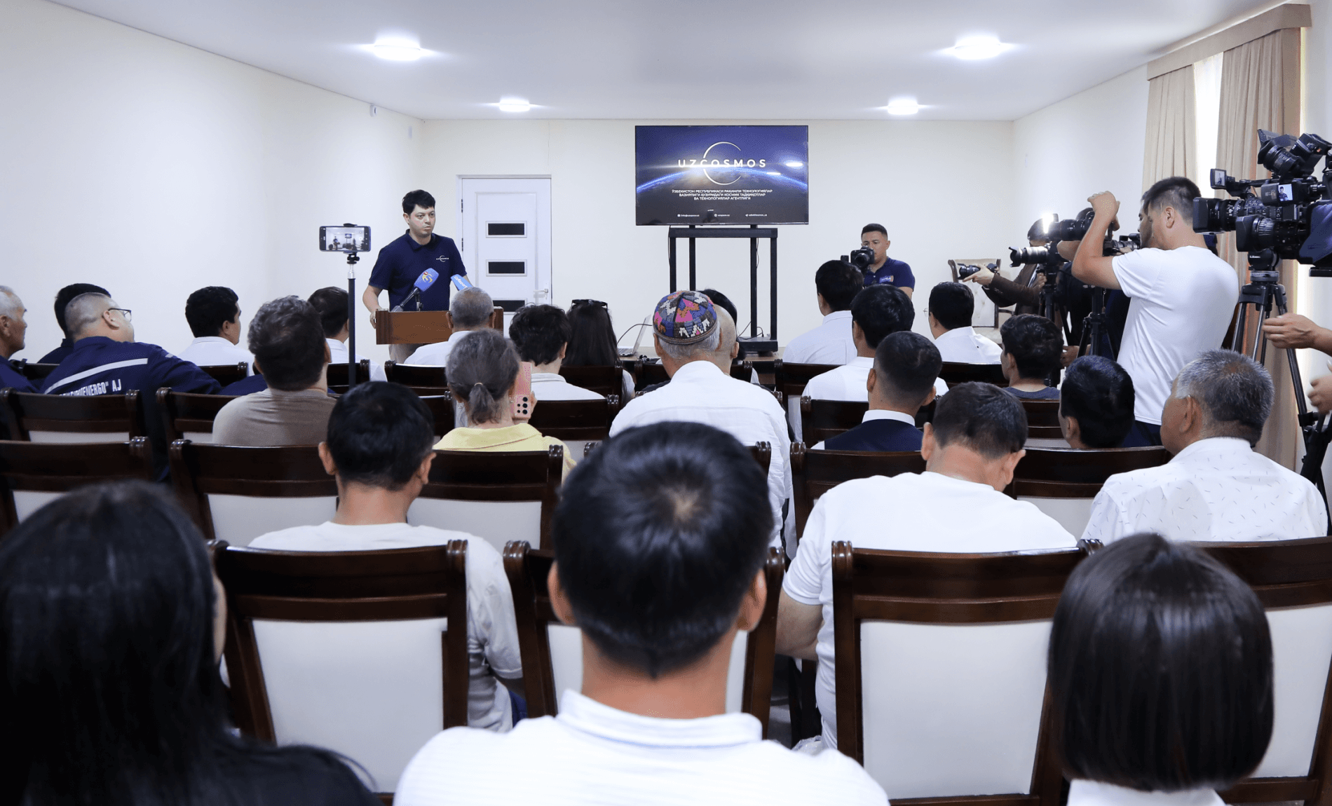
The media tour to the Akhangaran Reservoir aims to demonstrate to media representatives and the general public the practical significance of space technologies, as well as their contribution to solving the country's pressing economic and environmental challenges.