About Ulugnor District
About Ulugnor District
Ulugnor District was established on December 26, 1973, and is one of the administrative-territorial units of Andijan Region. The district borders Baliqchi District to the north, Bo‘ston District to the southeast, Namangan Region to the west and northwest, and Fergana Region to the south.
The administrative structure of the district includes 1 urban settlement and 23 citizens’ self-government bodies (mahallas). These include Bobur, Guliston, Bo‘ston, Mingbuloq, and several other mahallas. The administrative center of the district is Oqoltin.
Population
The population of Ulugnor District is approximately 64.5 thousand people. The majority of the population consists of Uzbeks. Russians, Tatars, Kyrgyz, Tajiks, and representatives of other ethnic groups also reside in the district.
Ethnic Composition:
- Uzbeks — 92.3%
- Kyrgyz — 4.1%
- Tajiks — 0.7%
- Russians — 0.6%
- Tatars — 0.2%
- Other ethnic groups — 2.1%
The population density is 152 people per square kilometer.
Nature and Climate
The territory of the district mainly consists of plains, with many moving sand dunes. The climate is sharply continental.
The average temperature in January is −4 °C, while in July it ranges from 24 °C to 28 °C. The average annual precipitation is 195–200 mm. The vegetation period lasts approximately 235 days.
Local farms are supplied with water from the Great Andijan Canal. The soil mainly consists of gray and sandy loam soils, which are favorable for agriculture.
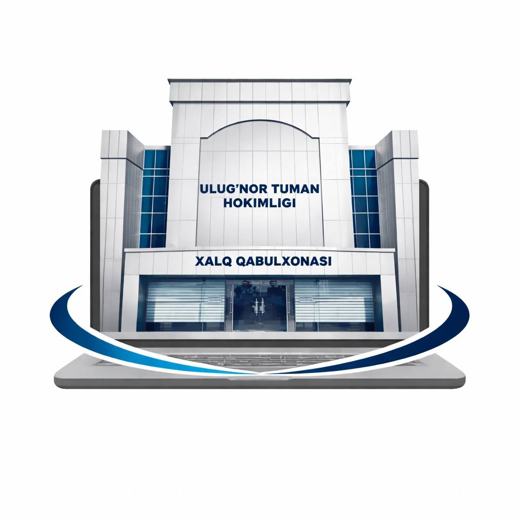
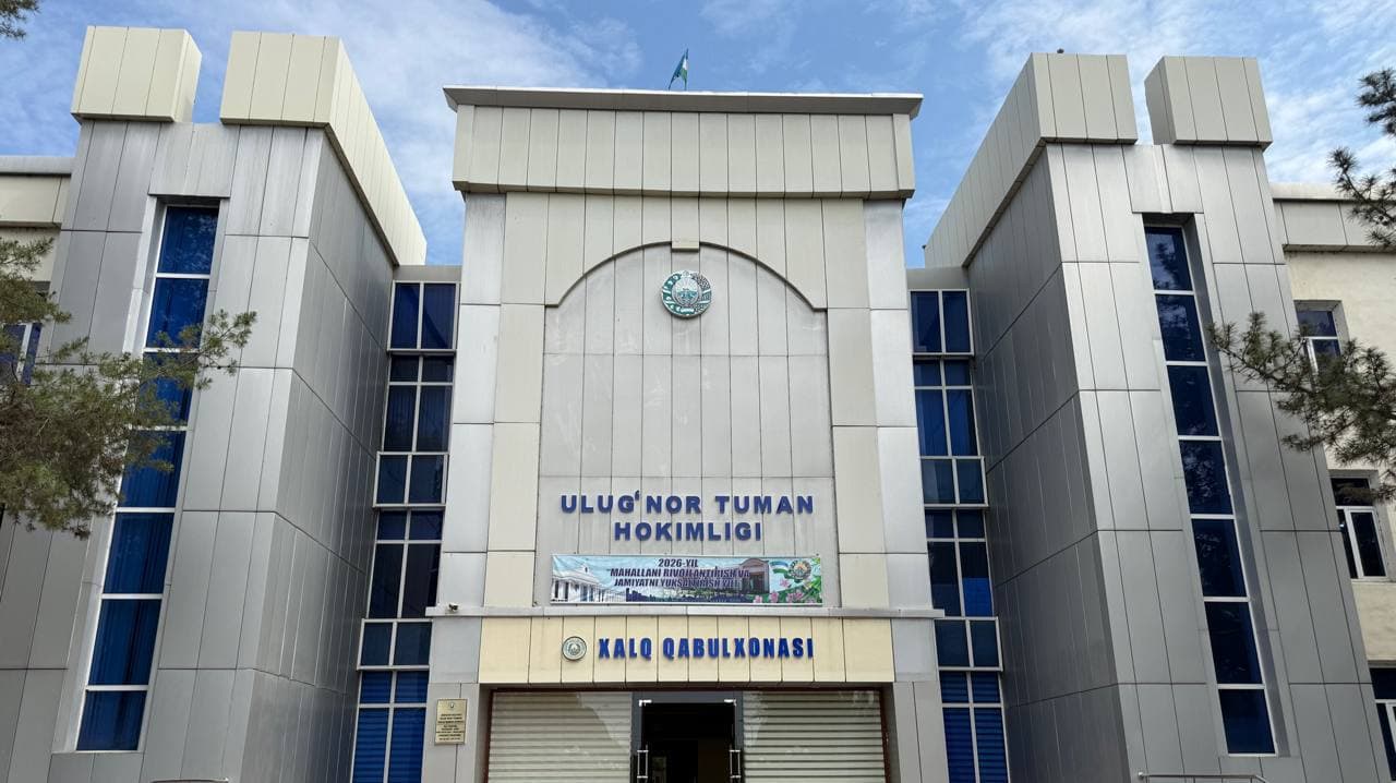
Contact Information
Address: 1 Alisher Navoi Street, Shahriobod Mahalla, Ulugnor District
Telephone: (+998 74) 761-11-25
Working Days: Monday — Saturday
Working Hours: 09:00 AM — 06:00 PM
Lunch Break: 01:00 PM — 02:00 PM
Landmark: District Center